Two Launches, Two Weeks, One Pipeline
The pace of Algeria’s space programme changed sharply in January 2026. On 15 January, a Long March-2C rocket lifted off from Launch Site 94 at the Jiuquan Satellite Launch Centre, placing Alsat-3A into orbit. Sixteen days later, on 31 January, Alsat-3B followed from the same launch complex. The back-to-back cadence concluded the July 2023 Algeria-China contract covering two optical remote-sensing satellites plus ground systems, training, and support.
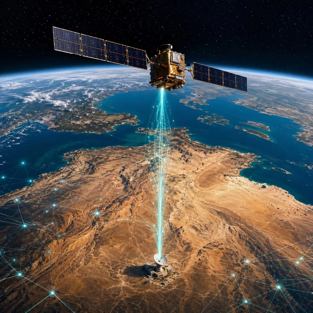
On the orbital side, the new platforms substantially expand what the Algerian Space Agency (ASAL) can see and how fast. Alsat-3A — built by the China Academy of Space Technology (CAST) in collaboration with China Great Wall Industry Corporation (CGWIC) — carries an optical payload with a 17.5 km swath and a three-day revisit time, according to SpaceWatch.GLOBAL’s coverage. That puts Algeria in the same Earth-observation tier as several mid-capability national programmes: Sahel-scale monitoring of agriculture, water, urban growth, and climate risk becomes a routine, rather than project-by-project, operation.
Why This Matters for Algerian AI
For Algeria’s AI research and startup community, the story is not primarily about satellites. It is about training data. Computer-vision models for agriculture, urban planning, hydrology, and environmental monitoring are only as good as the imagery they are trained on. Until now, Algerian teams building those models have had to rely on a mix of open Sentinel and Landsat data (coarser resolution, not Algeria-specific), commercial Planet or Maxar imagery (expensive, with restrictive licensing), or small-area UAV flights (high resolution, tiny coverage).
Alsat-3A and Alsat-3B change that arithmetic. Space in Africa’s analysis notes the satellites are specifically designed for land-use planning, disaster prevention, and agricultural and environmental monitoring — exactly the use cases that Algerian AI researchers have been publishing papers on for years. Multi-spectral bands on the payload support crop-health assessment, water-resource monitoring, desertification tracking, and vegetation mapping — datasets structured for machine-learning, computer-vision, and predictive-modeling applications.
The Applied Research Opportunities
Several areas of Algerian AI work are immediately relevant:
- Agriculture and water. The government’s strategic push into Saharan agriculture (wheat, cereals, date palms) generates a recurring data problem: how to monitor crop yields, irrigation patterns, and soil stress across areas too vast to walk. Three-day revisit imagery with near-infrared bands is a natural input for yield-estimation and water-stress models. Startups like the Huawei Tech4Good prize-winning FarmAI, which uses AI for wheat-rust detection, sit right in this lane.
- Desertification and climate risk. Algeria’s desertification front moves measurably every year. Computer-vision models that track vegetation change, sand encroachment, and land degradation — trained on Alsat-3A time series — could feed directly into Ministry of Environment decision-making.
- Urban growth and informal settlements. Algerian cities are expanding rapidly at the edges. Satellite-derived urban-growth maps are the cleanest input for planning, infrastructure sizing, and land-use compliance.
- Disaster response. Algeria manages recurring wildfire, flood, and seismic risk. Alsat-3A’s rapid revisit enables before/after imagery for damage assessment — the building block for AI-assisted disaster-response workflows that the civil-protection authority could operationalize.
Advertisement
The Research-to-Product Gap
The satellites alone do not produce applications. Three conditions need to align for Algerian AI teams to convert Alsat-3A/3B data into products:
- Access terms. How ASAL makes imagery available — open data for research, tiered commercial licensing, or bilateral agreements — will shape whether university labs and early-stage startups can use it at all. Several African space agencies have moved to open-data models for moderate-resolution imagery; ASAL’s policy choice is pending.
- Compute. Processing optical time series at national scale requires GPU-class infrastructure. ENSIA’s inaugurated high-performance computing centre, equipped with NVIDIA H100, L40S, and A40 processors, is the most capable domestic option. Pairing ASAL imagery with ENSIA compute is an obvious joint-programme candidate.
- Interdisciplinary talent. Remote-sensing AI sits at the intersection of physics, geospatial science, and ML. Algeria’s 74 AI master’s programmes across 52 universities, and the NLP/computer-vision specialties at ENSIA, supply the base talent pool; the gap is in domain-specific programmes that combine Earth observation and AI in a single curriculum.
The Wider Space Capabilities Map
The new launches slot into Algeria’s existing fleet. ALSAT-1 (launched in 2002) kicked off the programme; Alsat-2A followed in 2010 and Alsat-2B in 2016, along with ALSAT-1B and ALSAT-1N in 2016. Add Alcomsat-1 for telecommunications, and Algeria now runs one of the more complete satellite portfolios in Africa. The ASAL entry on eoPortal situates Algeria among the continent’s most advanced space participants.
What is new is not the fleet but the data economy it now feeds. Two modern optical satellites, with global-standard revisit times and multi-spectral payloads, producing imagery over Algerian territory continuously — this is the input stack that Algerian AI builders have been asking for.
What to Watch
Over 2026, three signals matter. First, whether ASAL publishes a clear data-access policy that distinguishes research, commercial, and national-security uses. Second, whether any of the national AI funding programmes — the Algérie Télécom fund, the ASF/CERIST/DeepMinds national venture studio — prioritize remote-sensing AI among their early cohorts. Third, whether international partnerships (CNES, ESA, African Space Agency) bring Algeria into multi-country Earth-observation consortia that accelerate capability-building.
Alsat-3A and Alsat-3B are national infrastructure. Whether they also become the foundation of an Algerian geospatial-AI industry depends on the decisions made in the next eighteen months.
Frequently Asked Questions
What are Alsat-3A and Alsat-3B and when were they launched?
Alsat-3A and Alsat-3B are Algeria’s new optical Earth observation satellites, launched on 15 January 2026 and 31 January 2026 respectively, both aboard Long March-2C rockets from the Jiuquan Satellite Launch Centre. They were built by the China Academy of Space Technology (CAST) with CGWIC under a July 2023 contract with the Algerian Space Agency (ASAL).
What capabilities do the new satellites offer?
Alsat-3A carries an optical payload with a 17.5 km swath width and a three-day revisit time. The satellites are designed for land-use planning, disaster prevention, agricultural monitoring, and environmental applications, with multi-spectral bands suitable for crop-health assessment, water-resource analysis, desertification tracking, and vegetation mapping.
How can Algerian AI researchers and startups access the imagery?
ASAL has not yet published a final data-access policy. Several African space agencies have moved toward open-data models for moderate-resolution imagery; Algeria’s choice is pending. Researchers and founders should engage ASAL and the Ministry of Higher Education directly to propose joint programmes, with ENSIA’s HPC cluster as a natural compute partner for any large-scale imagery processing.
Sources & Further Reading
- Algeria Launches ALSAT-3A — Space in Africa
- Algeria Launches ALSAT-3A Earth Observation Satellite — SpaceWatch.GLOBAL
- Algeria Accelerates Space Programme with Two Satellite Launches in Two Weeks — Ecofin Agency
- China Launches AlSat-3A for Algeria — SpaceNews
- Alsat-2 Mission Overview — eoPortal
- ENSIA — National School of Artificial Intelligence