

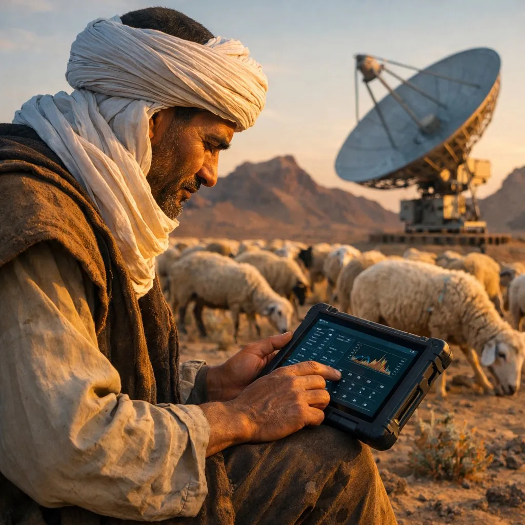
Key Takeaway: Algeria’s pastoral communities are beginning to adopt IoT sensors, GPS collars, and satellite-based monitoring to reduce livestock losses, optimize grazing routes, and modernize a sector that sustains millions of livelihoods across the steppe and Saharan regions.
Algeria’s livestock sector employs over 1.5 million families and contributes significantly to the national agricultural GDP. Yet pastoralists managing sheep, cattle, and camels across the vast steppe and Saharan regions still rely largely on traditional methods to track herds, assess pasture quality, and prevent losses from theft or disease. That is starting to change as AI-powered monitoring technologies become more accessible and affordable.
The Scale of Algeria’s Pastoral Economy
Algeria ranks among the largest livestock producers in North Africa, with an estimated 35 million sheep, 5 million goats, 2 million cattle, and over 400,000 camels. The High Plateaus steppe region, stretching from Djelfa to Naama, serves as the country’s primary pastoral zone. Seasonal transhumance — the migration of herds between summer highland pastures and winter lowlands — remains a cornerstone of the pastoral economy.
Despite its economic importance, the sector faces mounting challenges. Climate change is shrinking viable grazing areas. Water scarcity forces longer migration routes. Livestock theft remains a persistent problem in remote areas. And disease outbreaks can devastate herds before veterinary services arrive.
How IoT and AI Are Transforming Herd Management
Globally, precision livestock farming has matured rapidly. GPS-enabled collars and ear tags can now transmit real-time location data via satellite or cellular networks. IoT sensor platforms aggregate data on animal movement patterns, body temperature, and feeding behavior. Machine learning algorithms analyze this data to detect anomalies — a cow that has stopped moving may be injured, a flock drifting beyond its usual range may indicate a predator threat.
Several pilot programs are bringing these technologies to Algeria. Researchers at the University of Tlemcen have developed computational models to optimize livestock management routes, reducing travel distances and costs. The Algerian Ministry of Agriculture has signaled interest in digital traceability systems that would assign each animal a unique electronic identifier, supporting both disease surveillance and anti-theft efforts.
Satellite Imagery for Pasture Assessment
One of the most impactful applications for Algerian pastoralists is satellite-based pasture monitoring. Services built on Copernicus Sentinel-2 data can assess vegetation health across millions of hectares, providing normalized difference vegetation index (NDVI) maps that show where grazing conditions are best.
For transhumant herders who must decide which routes to take, these maps can be transformative. Research from across Africa has shown that when pastoralists gain access to satellite-derived vegetation maps, herd mortality rates can drop by as much as 47%. Algeria’s National Institute of Agronomic Research (INRAA) has begun exploring how to make such data accessible via mobile phone applications tailored to pastoral communities.
Advertisement
Drone Monitoring and Herd Counting
Drones offer another technological lever. AI-powered aerial surveys can count animals across large areas in minutes, a task that traditionally required hours of manual work. Computer vision algorithms trained on livestock imagery can distinguish between species, identify individual animals, and even detect signs of illness from aerial photographs.
In Algeria’s southern regions, where herds can spread across vast desert terrain, drone-based monitoring could significantly improve herd management efficiency. The fusion of drone imagery with ground-based IoT sensor data creates a comprehensive picture of herd health and location that was previously impossible.
Algeria’s Digital Agriculture Strategy
These livestock monitoring initiatives align with Algeria’s broader digital transformation agenda. The country’s Smart Agriculture Strategy, supported by the Ministry of Agriculture and Rural Development, emphasizes the integration of digital tools across the agricultural value chain. The National Agency for the Development of Digitalization (ANDD) has identified agricultural technology as a priority sector for digital investment.
International cooperation is also playing a role. Algeria’s partnership with the Food and Agriculture Organization (FAO) includes capacity-building programs in digital agriculture. The African Union’s Digital Transformation Strategy, which Algeria has endorsed, specifically calls for precision livestock farming technologies to support pastoral communities across the Sahel and North Africa.
Challenges to Adoption
Despite the promise, significant barriers remain. Connectivity is the most obvious: many pastoral areas lack reliable cellular or internet coverage, making real-time data transmission difficult. The cost of GPS collars and IoT sensors, while declining, remains prohibitive for small-scale herders managing modest flocks.
Digital literacy among pastoral communities is another hurdle. Successful adoption will require training programs delivered in Arabic and Tamazight, using interfaces designed for users who may have limited formal education. Power supply is also a concern — solar-powered devices are the most practical option for remote areas, but battery life and durability in extreme temperatures remain technical challenges.
What Comes Next
Algeria stands at an inflection point. The global precision livestock farming market is projected to exceed $15 billion by 2030, driven by falling sensor costs and improving satellite connectivity. For Algeria, investing in pastoral technology is not just about modernizing agriculture — it is about protecting the livelihoods of millions of families and ensuring food security in a changing climate.
The path forward likely involves public-private partnerships that subsidize initial hardware costs, university-led pilot programs that demonstrate ROI to skeptical herders, and policy frameworks that mandate electronic animal identification. Countries like Morocco and Tunisia have already launched national livestock traceability programs, and Algeria has the technical talent and institutional capacity to follow suit.
Frequently Asked Questions
How does AI livestock monitoring work in remote areas without cellular coverage?
Modern livestock monitoring systems use a combination of satellite communication (via services like Swarm or Iridium) and LoRaWAN mesh networks to transmit data from GPS collars and IoT sensors. Solar-powered devices can operate independently for months, storing data locally and transmitting in batches when connectivity is available. For Algeria’s steppe and Saharan regions, satellite-connected collars are the most viable option.
What is the cost of implementing GPS collars and IoT sensors for a small pastoral herd?
GPS collar costs have fallen to approximately $50-150 per unit for basic models, with premium models featuring health monitoring sensors ranging from $200-400. For a typical Algerian flock of 100-200 sheep, a pilot deployment using 10-15 GPS collars on lead animals and a solar-powered base station would cost approximately $2,000-5,000. Government subsidies and cooperative purchasing can further reduce costs.
Can satellite pasture monitoring help predict drought impacts on grazing land?
Yes. Satellite-derived vegetation indices like NDVI can detect declining pasture quality weeks before it becomes visible on the ground. By tracking vegetation trends over time, AI algorithms can predict when a grazing area will become insufficient for herd sizes, giving pastoralists advance warning to adjust migration routes. Research across Africa has shown this approach can reduce herd mortality by up to 47%.
Sources & Further Reading
- Flying Farmers and Herding via Satellite: How Tech Is Reshaping African Agriculture — Nature
- Technologies and Solutions for Cattle Tracking: A Review — PMC
- Precision Livestock Farming Technologies in Pasture-Based Systems — ScienceDirect
- Smart Technologies for Sustainable Pasture-Based Ruminant Systems — ScienceDirect
- IoT-Based Device for Data Collection on Sheep and Goat Herding — MDPI Sensors