Agriculture is Algeria’s second economic pillar — contributing 12.4% of GDP and employing nearly 10% of the active workforce. But the sector faces a convergence of mounting pressures: water scarcity intensified by climate change, declining soil quality in overfarmed northern plains, post-pandemic supply chain disruptions, and a population growing at 1.7% annually that will reach 55 million by 2040.
Artificial intelligence offers tools to address each of these challenges. The question is not whether AI can help Algerian agriculture — the global evidence is overwhelming that it can — but whether Algeria has the infrastructure, talent, and institutional will to deploy it at meaningful scale.
Algeria’s Agricultural Profile: The Numbers Behind the Challenge
Algeria is the largest country in Africa by land area (2.38 million km²), yet only 8.5% of its territory is arable. The usable agricultural land is concentrated in the northern Tell region, where rainfall averages 400–600mm annually, and in irrigated valleys fed by the Atlas mountain aquifer system.
The Saharan south — 85% of national territory — has significant agricultural potential through underground water reserves, particularly the Northwestern Saharan Aquifer System (NWSAS), which stores an estimated 30,000–60,000 km³ of fossil water. Algeria is already the world’s third-largest producer of dates, grown in Saharan oases. But systematic exploitation of southern agricultural potential requires precision irrigation that minimizes the irreplaceable depletion of aquifer reserves.
Key crop statistics:
– Wheat: Algeria produces 3–4 million tonnes annually but imports an additional 7–8 million tonnes, making it one of the world’s largest wheat importers and creating critical food security exposure
– Vegetables: The Mitidja plain near Algiers produces tomatoes, potatoes, and peppers for domestic consumption; AI-optimized irrigation could increase yields by 15–25% with 30% less water
– Livestock: Sheep and cattle herding covers 34 million hectares of steppe rangeland; early drought detection through satellite imagery and AI analysis could prevent the animal losses that devastate pastoral communities
AI Applications Already Proving Value in Agriculture
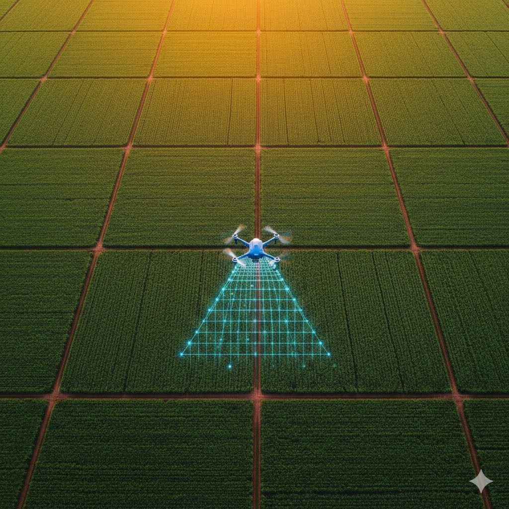
Satellite and Drone Imagery Analysis
The most immediately deployable AI agricultural tool requires no ground infrastructure: satellite imagery analysis. Platforms like Planet Labs, Sentinel (ESA), and Maxar provide daily or near-daily imagery of Algerian agricultural land at resolutions of 3–10 meters. AI models trained on this imagery can:
- Detect crop stress (water stress, nitrogen deficiency, pest pressure) 2–3 weeks before visible symptoms appear, allowing intervention before yield loss occurs
- Map crop types and estimate total planted area — currently done by costly and inaccurate manual field surveys
- Track soil moisture levels and issue irrigation recommendations
- Identify illegal land clearing or encroachment on protected agricultural zones
Algeria’s Ministry of Agriculture and Rural Development has launched pilot programs in the Mitidja and Chelif river valleys using ESA Sentinel imagery, analyzing data through agreements with French agricultural technology providers. Initial results show a 12% reduction in irrigation water use with no yield reduction in the pilot zones.
Precision Irrigation: AI and IoT in the Saharan Oases
In the Biskra and Ghardaïa regions — Algeria’s date palm heartland — drip irrigation systems with IoT soil moisture sensors are being deployed under a UNDP-supported program. Sensors transmit real-time soil moisture data to cloud platforms that apply machine learning models to determine precise irrigation timing and volume.
The economic impact is significant: conventional date palm irrigation in the Sahara uses 40–50 liters per palm per day. AI-optimized drip irrigation reduces this to 18–22 liters per palm per day — a 50% water reduction that extends the productive life of aquifer reserves by decades.
Crop Disease and Pest Detection
Olive cultivation covers 400,000 hectares in the Kabyle and Tlemcen regions. The olive fruit fly (Bactrocera oleae) causes annual losses estimated at 30–40% of production. AI-powered image recognition deployed on smartphone apps allows farmers to photograph suspected infestations and receive immediate identification and treatment recommendations — without waiting for expensive agricultural extension officer visits.
An Algerian startup, AgriTech DZ, has developed a mobile application specifically for Algerian crop disease identification, trained on a dataset of North African plant pathologies. The app has been distributed to approximately 15,000 farmers in the Tlemcen and Bejaia wilayat as of late 2025.
Yield Prediction and Market Intelligence
AI models that integrate weather forecasts, satellite imagery, and historical yield data can predict regional harvest volumes 3–4 months before harvest with accuracy rates of 85–90%. For Algeria’s Ministry of Commerce, which manages strategic grain reserves and import tender scheduling, accurate early yield forecasts could save $200–400 million annually by timing import contracts more precisely with actual domestic production shortfalls.
Advertisement
The Infrastructure Gap: What’s Missing
Connectivity in Rural Areas
AI agricultural tools are only as useful as the connectivity that delivers them. Algeria’s rural areas — where most agricultural land is located — have 4G coverage of approximately 65% as of 2025, with significant black spots in mountainous Kabyle, Aurès, and southern steppe regions. 5G, launched in late 2025, is currently restricted to 8 urban provinces.
Without reliable mobile connectivity, precision agriculture applications cannot function. Offline-capable applications that sync when connectivity is available represent the practical architecture for the near term.
The Farmer Digital Literacy Challenge
Algeria has approximately 1.1 million agricultural holdings, of which the vast majority are small family farms averaging 5–8 hectares. The average age of Algerian farmers is 52 years old, and digital literacy among this cohort is limited. Technology that requires a smartphone app and cloud registration will reach the organized commercial farm sector first — perhaps 80,000–100,000 farms — but will require intermediaries (cooperatives, extension officers, agritech startups) to reach the broader farm population.
Data Availability
Training AI models on Algerian agricultural conditions requires Algerian agricultural data — soil maps, historical yield records, weather station data, and crop inventory surveys. Much of this data exists in paper form in Ministry of Agriculture archives, undigitized and unavailable for machine learning. A national agricultural data digitization program is a prerequisite for AI deployment at scale, yet no dedicated initiative has been announced.
The Policy Window: National AI Strategy + Agriculture Sector Plans
The National AI Strategy 2025–2030 explicitly identifies agriculture as a priority sector for AI application. The Agricultural Development Fund (FDNA) provides subsidized financing for agricultural technology investments, including precision irrigation equipment. The 2025–2029 Five-Year Agricultural Plan sets targets for irrigated area expansion, organic agriculture certification, and export value growth.
The policy architecture is coherent. The implementation challenge is matching the ambition of strategy documents with the operational reality of fragmented, smallholder agriculture across a geographically vast and topographically diverse country.
The Opportunity: For Startups, Investors, and International Partners
For Algerian agritech startups: the addressable market is enormous, competition is minimal, and government purchasing power is available through FDNA subsidies and Ministry of Agriculture procurement. The most viable early products are mobile-first, offline-capable crop advisory tools and AI-powered irrigation controllers for the Saharan date palm and market gardening sectors.
For international technology companies: the Algerian agricultural AI market is open to partnership with local entities. Foreign companies cannot directly sell to Algerian government ministries without local incorporation or an Algerian partner — but the joint venture model is well-established and workable.
For impact investors: precision agriculture in Algeria sits at the intersection of food security, water conservation, and economic development for rural communities — a compelling ESG narrative backed by a real and quantifiable market.
Advertisement
Decision Radar
| Dimension | Assessment |
|---|---|
| Relevance for Algeria | High — agriculture is 12.4% of GDP with critical food security exposure on wheat imports |
| Action Timeline | 6-12 months — pilot programs are running but scale deployment needs connectivity and data infrastructure |
| Key Stakeholders | Agritech startups, precision irrigation vendors, satellite imagery providers, Ministry of Agriculture, impact investors, agricultural cooperatives |
| Decision Type | Strategic |
| Priority Level | High |
Quick Take: Algeria’s agritech market is enormous, underserved, and backed by government subsidies through the FDNA. The most viable products are mobile-first, offline-capable crop advisory tools and AI-powered irrigation controllers for the Saharan date palm sector. International partners need a local JV structure.
Sources
- FAO Algeria Country Profile
- World Bank Algeria Agricultural Productivity
- UNDP Algeria Saharan Irrigation Program
- NWSAS — Northwestern Saharan Aquifer System
- Algeria National AI Strategy — Ecofin Agency
- ESA Sentinel Agricultural Monitoring
- McKinsey — AI in Agriculture Global
- Algeria 5G Launch — Connecting Africa


Advertisement